About the MRMPO
- What is the MRMPO?
- What are MPOs?
- What does the MRMPO do?
- Planning Principles
- Planning Process
- Partners
- Contact Us
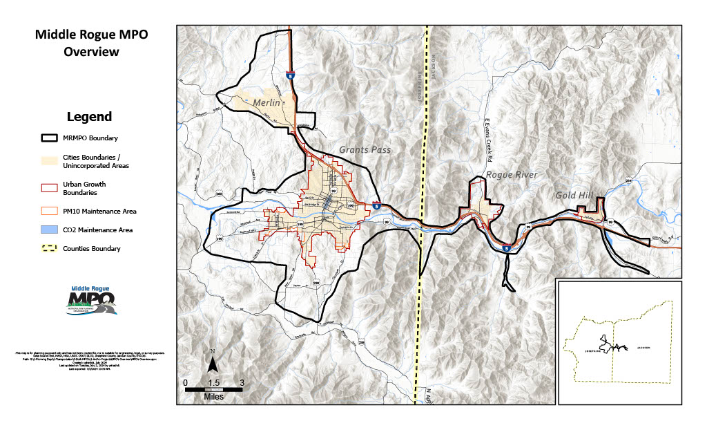
The Middle Rogue Metropolitan Planning Organization (MRMPO) is a transportation policy-making organization composed of representatives from local governments and transportation authorities. The MRMPO includes the cities of Gold Hill, Grants Pass, Rogue River, and adjacent parts of Josephine and Jackson Counties that are anticipated to become urbanized over the next 20 years. Its primary focus is to support local and regional problem solving.
The MPO Policy Committee, the organization’s decision-making board, consists of elected officials from the member cities, Josephine and Jackson Counties, and the Oregon Department of Transportation (ODOT). The MRMPO is staffed by the Rogue Valley Council of Governments, a voluntary association of 24 local jurisdictions, special districts, and education institutions in southwestern Oregon’s Jackson and Josephine Counties. Its primary focus is to support local and regional problem solving.
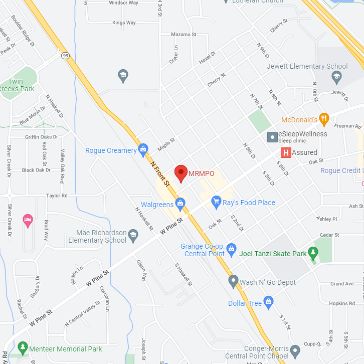
MRMPO Planning Area
What are MPOs?
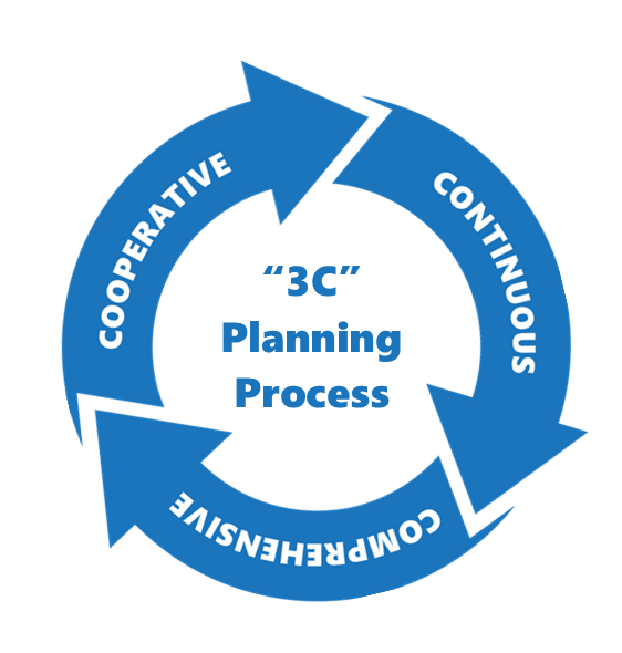
Urbanized areas with 50,000 or more people are required by the Federal Transportation Act to set up a Metropolitan Planning Organization (MPO) that coordinates a continuing, comprehensive, and cooperative (“3C”) regional transportation planning process. The State of Oregon defines an MPO as “the organization designated by the Governor to coordinate transportation planning in an urbanized area of the state.”
MPO’s develop long-range regional transportation plans (RTP) which addresses the area’s projects, programs, and policies for the next twenty years. They also maintain the Transportation Improvement Program (TIP), which is a short-range document listing regional transportation projects.
What does the MRMPO do?
The MRMPO coordinates three major tasks to meet federal requirements
Middle Rogue Regional Transportation Plan
Addresses the region’s projects, programs and policies for the next 20 years
Transportation Improvement Program (TIP)
The short-range, biennial 4-year program for highway and transit improvements to be built
Unified Planning Work Program (UPWP)
The comprehensive one-year planning program that describes and coordinates the individual transportation planning activities of member agencies
Plus, there are many other things the MPO does to facilitate transportation planning in the Middle Rogue region. Click the link above to explore the other plans and projects that the MRMPO employs to address the transportation needs of a growing region
3C Process: MPOs were created in order to ensure that existing and future expenditures for transportation projects and programs are guided by the 3C process, which means that it is Cooperative, Continuous, and Comprehensive.
Cooperative
The MRMPO works with state and local stakeholders, including interested individuals and special interest groups
Continuous
Key documents are continuously reviewed and updated as needed
Comprehensive
Multiple transportation modes are considered, such as: transit, personal vehicle, biking, walking, freight, air, and more
As well as multiple factors, including: air quality, social justice, and employment
The transportation planning process is more than just a listing of future highways and transit upgrades. It requires developing strategies for operation, managing, maintaining, and financing the area’s transportation system in order to advance the region’s long-term goals.
The MRMPO is responsible for coordinating a collaborative transportation planning process for the region. All interested parties must be included, including those who have been traditionally underserved by the transportation system and services.
The planning process brings people, information, and ideas together to inform regional transportation decisions. Transportation planning recognizes the critical links between transportation and larger societal goals and includes not only considerations such as mobility, accessibility, and connectivity, but also economic vitality, the environment, livability, social equity, safety, security, and financial constraints.
Transportation Planning Features:
- Monitoring existing conditions
- Forecasting future population growth, employment growth, and travel demand
- Identifying current and future transportation problems and needs
- Conducting planning studies to address transportation issues
- Developing long-range plans and short-range programs of capital improvements and operational strategies that address problems and needs
- Estimating the impacts of transportation improvements on air quality and populations of concern
- Developing financial plans for implementing the recommended improvements
- Involving the public throughout the process via public meetings, surveys, workshops, public hearings, comment periods, and more
Transportation Planning Process
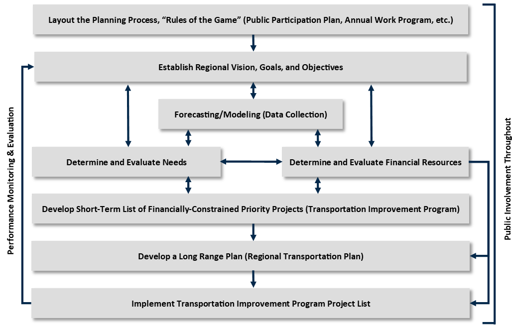
Public input is used to:
- Identify the goals, visions, opportunities, and needs of the region
- Identify significant projects
- Define alternative strategies
- Develop a long-range transportation plan that includes a list of eligible projects
Implementation
Transportation projects are only implemented after a long, careful, inclusive planning process. Once needs are identified, projects must be prioritized according to available funding. This process results in the Transportation Improvement Program (TIP), which is the document that tells which of the identified projects can be funded and built in the near future.
Find Us
Physical Address:
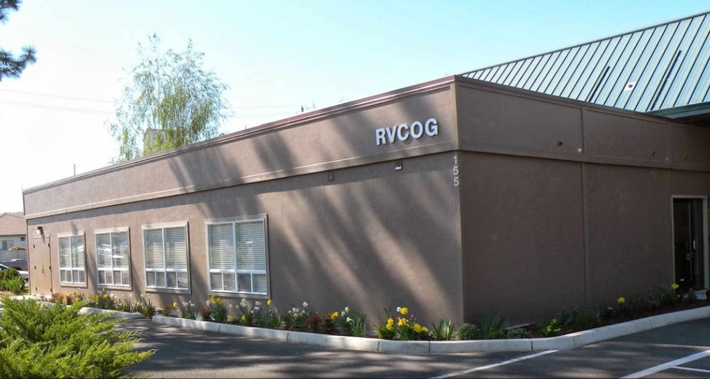
155 North 1st Street
Central Point, OR 97502
Mailing Address:
PO Box 3275
Central Point, OR 97502
Phone: 541-664-6674
Email: mrmpo@rvcog.org
Staff List
Ryan MacLaren
Planning Program Director
541-423-1338
Dan Moore
Senior Transportation Planner
541-423-1393
Yazeed Alrashdi
Associate Transportation Planner
541-423-1378
Jeffery Stump
Associate Transportation Planner
541-423-1367
Onnie Heater
Associate Land Use Planner
541-423-1380
Kelsey Sharp
Office Specialist | General Contact
541-423-1375
